
Cargando...
What can I do?
Find
Display
Populatedplace
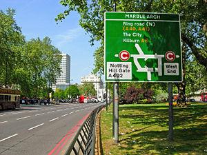
Park Lane is a major road (designated A4202) in the City of Westminster, in Central London.
Wikipedia Article
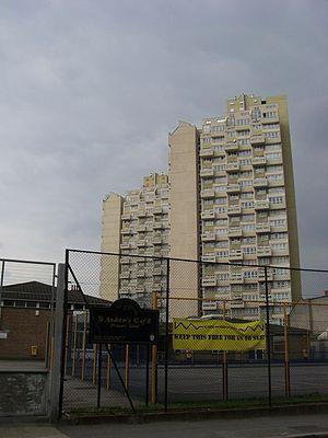
Hounslow /'ha?nzlo?/ is the principal town in the London Borough of Hounslow. It is a suburban[citation needed] district 10.6 miles (17 km) west south-west of Charing Cross. It forms a larger post tow ...
Wikipedia Article
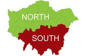
North London is the northern part of London, England. It is an imprecise description and the area it covers is defined differently for a range of purposes. Common to these definitions is that it inclu ...
Wikipedia Article
Stockwell is a district in inner south London, England, located in the London Borough of Lambeth.It is situated 2.4 miles (3.9 km) south south-east of Charing Cross. Brixton, Clapham, Vauxhall and Ken ...
Settlement
Cheshunt is a town in the Borough of Broxbourne, Hertfordshire, England with a population of around 52,000 according to the United Kingdom's 2001 Census. It is a dormitory town and part of the Gre ...
Settlement
Beaconsfield Listen/ˈbɛkənzfiːld/ is a market town and civil parish operating as a town council within the South Bucks district in Buckinghamshire, England. It lies 23.6 miles northwest of Charing Cro ...
Settlement
Smithfield (also known as West Smithfield) is an area of the City of London, in the ward of Farringdon Without, and where the present Haberdashers' Hall is located. It is situated in the north-wes ...
Settlement
Bayswater is an area of Central London in the City of Westminster . It is a built-up district located 3 miles (4.8 km) west-north-west of Charing Cross, bordering the north of Hyde Park and having a p ...
Settlement
Southwark is a district of Central London, England, and part of the London Borough of Southwark. Situated 1.5 miles east of Charing Cross, it forms one of the oldest parts of London and fronts the Riv ...
Add to Didactalia Arrastra el botón a la barra de marcadores del navegador y comparte tus contenidos preferidos. Más info...


